Search

Search Results

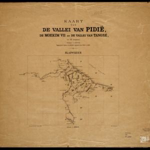
Kaart van de Vallei van Pidië, de Moekim VII en de Vallei van Tangsé

event1899

location_onIndonesia

Large-scale topographic map of the northeast coast of Sumatra around the city of Sigli, Aceh, spread over 16 sheets plus a cover sheet of the whole area. The map focuses on two river valleys, mountains, marshland, villages and rice paddies.

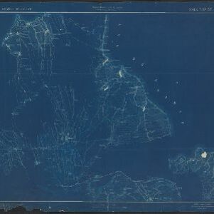
Sumatra

eventc.1899-1902

location_onIndonesia

Eight sheets from a large-scale detailed topographic map of Sumatra (many other sheets are missing). Includes crops (rice, coconut, coffee, banana, sugar, gambier, cinnamon, bamboo, alang-alang, arenga palm), routes (railways, roads), settlements.

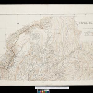
Upper Burma

event1899

location_onMyanmar, Thailand

Map of Upper Burma, showing the borders with Assam (India), China and Siam (Thailand), as well as internal administrative borders. Mountains with their heights, settlements, rivers and railways (completed, proposed and under construction) are shown.

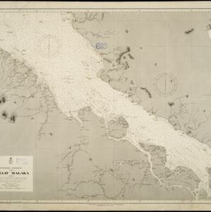
Zuidelijk gedeelte van Straat Malaka

event1899

location_onIndonesia

Navigation map of the southern part of the Strait of Malacca. Bathymetry (sea depth), lighthouses (in red and yellow), shoals and other obstructions (clay, coral, mud, rocks, shells, stones, sand) are marked, with hills to use as landmarks.

Island of Luzon

event1900

location_onPhilippines

This map of part of the Philippine island of Luzon was compiled during the Philippine–American War (1899–1902), and is marked with routes (paths, wagon roads), land types (grass, woods, swamp) and crops (rice, coconuts, nipa palm, cane sugar, corn).

close