Search

Search Results

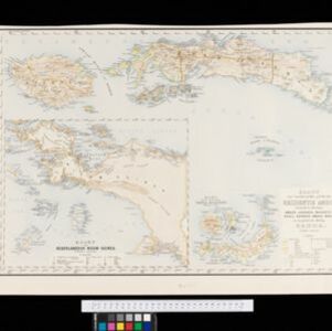
Kaart van 't noordwestelijke gedeelte der Residentie Ambon

event1898

location_onIndonesia

Map of the residency of Ambon in the Maluku Islands, divided by colour-coded administrative borders. There are inset maps the Banda Islands—including the nutmeg plantations and the town of Neira with its fort and hospital—and of Dutch New Guinea.

Kaart der Molukken

event1898

location_onIndonesia, East Timor

Map of the Moluccas (Maluku Islands) divided into the residencies of Ternate (orange borders) and Ambon (green borders). Many place names are in Dutch and Malay, and there is an inset map of the city of Ambon. Timor is marked as Portuguese territory.

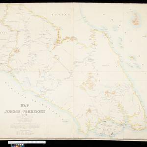
Map of Johore Territory 1893

event1893

location_onMalaysia, Singapore

Map of the Malay state of Johor, and Singapore. The route of a proposed railway north from Johor Bahru is shown. Apart from rivers and mountains, much of the terrain is blank, with labels such as ‘Unexplored Hill Country’ or ‘Dense Jungle and Swamp’.

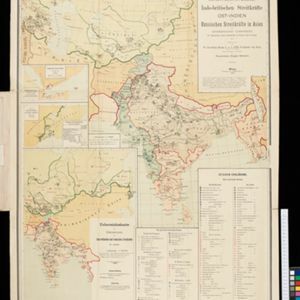
Dislocations-Karte der Indo-britischen Streitkräfte in Ost-Indien und der Russischen Streitkräfte in Asien

event1892

location_onMyanmar

Four maps showing the locations of British and Russian military units in Asia, including British and Indian (Madras Army) troops in Burma (Myanmar). Extensive legends identify individual regiments, battalions etc.

Singapore: Plan of harbour and roadstead

event1885

location_onSingapore

Plan of Singapore harbour, with wharfs and buildings. A roadstead—a body of water sheltered from tides/currents, for ships to anchor—is labelled ‘Singapore Road’. Islands, shoals and reefs are marked, as are roads and buildings in the city.

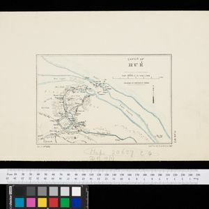
Sketch of Hué

event1885

location_onVietnam

Map of the city of Hué (Huế) on the Perfume River, east coast of Vietnam. There are forts, villages and rice fields along the river. In the city, there is the royal palace within walls and a moat, French military barracks and other colonial areas.

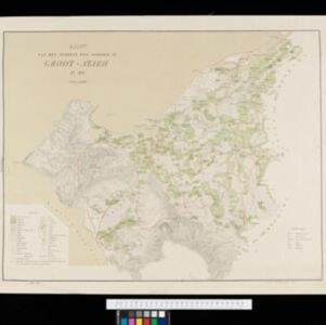
Kaart van het terrein des Oorlogs in Groot-Atjeh in 1876

event1883

location_onIndonesia

The Aceh War (1873–1904) between the Sultanate of Aceh and Dutch colonists is highlighted on this map of Groot-Atjeh in 1876. Flag symbols mark the locations of Dutch troops, while a red line records the route marched by ‘agitating troops’ in 1875-6.

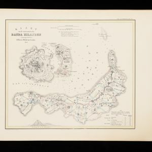
Kaart van de voornaamsten der Banda Eilanden

event1854

location_onIndonesia

Map of the Banda Islands, with a volcano on Goenong Api, two forts (‘Ft. Belgica’ and ‘Ft. Nassau’) on Neira, and a list of the heights of the mountains. (From ‘Algemeene Atlas van Nederlandsche Indie [General Atlas of the Dutch East Indies]’.)

General-Karte von Mittleren Sumatra von Padang bis Singkel

event1847

location_onIndonesia

This map focuses on the mountain ranges along the west coast of central Sumatra. Military bases, post offices, villages, rivers and hot springs are also marked, and there are inset maps of the towns of Padang and Singkel (Singkil).

close

  • Filter from 1847 to 1898

Current results range from 1847 to 1898