Search

Search Results

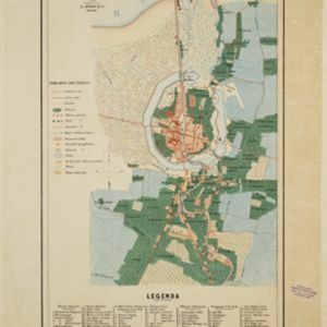
Plattegrond der stad Soerabaija

event1867

location_onIndonesia

A mid-19th century map of the city of Soerabaija (Surabaya, East Java, Indonesia) showing its recently built defences, including the ‘Citadel Prins Hendrik’ fort and a walled moat. Outside the city are villages, plantations and fields.

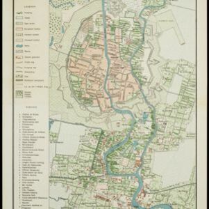
Kaart van Soerabaia 1866

event1866

location_onIndonesia

This map of the city of Soerabaia (modern Surabaya, East Java) shows the Mas and Pegirian rivers flowing through the city. The military fort and city streets are surrounded by wetlands, fields, plantations and villages. A 1931 reprint of an 1866 map.

Military cantonments: town and suburbs of Akyab, 1853-54

event1866

location_onMyanmar

Plan of British military installations in the port town of Akyab, Burma (Sittwe, Myanmar), featuring piers on the Kolladyne River (Kaladan River), hospitals, a work house, mission house, hotel, bazaar, burial grounds, religious buildings etc.

Kaart van de Oosterhelft der Residentie Timor

event1860

location_onIndonesia

Map of the eastern half of the Dutch colonial administrative region (residency) of Timor, with an inset map of its capital city and port Timorkoepang (Kupang). (From ‘Algemeene Atlas van Nederlandsche Indie [General Atlas of the Dutch East Indies]’.)

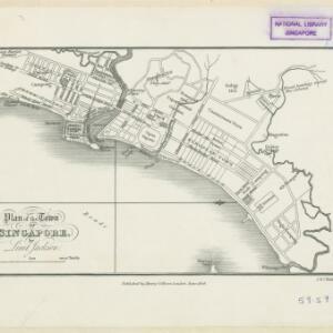
Plan of the town of Singapore

event1828

location_onSingapore

Known as the ‘Jackson Plan’, this is the earliest known plan of the city of Singapore, created by Lieutenant Philip Jackson in 1822. It was based on how Sir Stamford Raffles wanted Singapore to be developed, rather than the actual layout of the time.

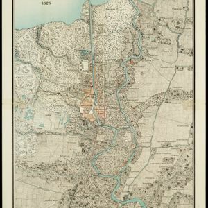
Kaart van Soerabaia 1825

event1825

location_onIndonesia

This map of the city of Soerabaia (modern Surabaya, East Java) shows the Mas River flowing through the city, with wetlands near the coast, and fields, plantations and villages in the surrounding countryside. A 1931 reprint of an 1825 map.

close