Search

Search Results

Figuratieve schetskaart van de Pedirstreek

event1898

location_onIndonesia

Map of Pedirstreek (Pidie Regency) on the east coast of Aceh, Sumatra, spread over two sheets. It is divided into administrative areas, and features rice paddies, villages, mosques, roads and local fortifications.

Kaart van het gebied bezet in Groot-Atjèh

event1898

location_onIndonesia

A six-sheet map of Groot-Atjèh (Aceh, northern Sumatra) focusing on areas occupied during the Aceh War (1873–1904) between the Sultanate of Aceh and Dutch colonists. It shows military positions and fortifications, buildings, routes and crops.
Kaart van het gebied bezet in Groot-Atjèh

event1898

location_onIndonesia

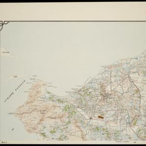
A large-scale map of Groot-Atjceh, northern Sumatra, spread over six sheets, and featuring details such as routes, crops (rice, banana, sugarcane, alang-alang, bamboo), mountains and wetlands, and settlements (city of Kota Radja (modern Banda Aceh)).

Atlas van Nederlandsch Oost-Indië

eventc.1897-1904

location_onIndonesia

Very detailed atlas of the entire Dutch East Indies, over 16 map sheets, with a cover and overview map. Includes topographic maps, inset maps of cities and islands, and maps featuring land and sea routes, languages, geology, colonial territory etc.
Kaart van de Hoofdplaats Padang

event1896

location_onIndonesia

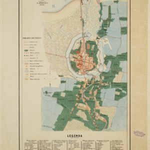
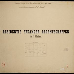
Map of the city of Padang, Sumatra, featuring roads, religious and military buildings, markets, warehouses and factories, and a railway station. Surrounding areas have villages and fields of rice, nutmeg, coconut, bamboo, alang-alang, sugarcane.

Riouw-archipel: Reede Riouw

event1895

location_onIndonesia

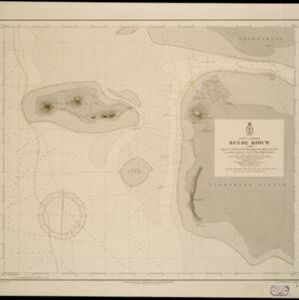
Navigation map of the Riau Roadstead (off west coast of Bintan, Riau Archipelago): a body of water sheltered from tides/currents, for ships to anchor. Bathymetry (sea depth) and various obstructions and landmarks (hills, buildings, trees) are shown.

Kaart van Makassar en Omstreken

event1894

location_onIndonesia

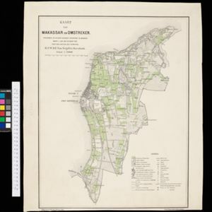
Map of the city of Makassar, Celebes (Suawesi), with the Dutch Fort Rotterdam, Koning’s Plein (King's Square) and a military hospital. The surrounding area has villages and crops: rice (paddy) fields, coconut, bamboo, nipa palm, banana.

Topographische kaart van de residentie Preanger regentschappen

event1894

location_onIndonesia

The residency of Preanger (Parahyangan), West Java, with plantations (coconut, coffee, tea, cinchona (‘kina’), betel, teakwood, bamboo) and crops (rice, sugarcane, alang-alang). Two inset maps: a triangulation map, and a map of land route distances.

Topographische kaart der residentie Besoeki

event1888

location_onIndonesia

The residency of Besoeki (Besuki), East Java, featuring crops (rice, alang-alang, bamboo, coconut); fishing ponds; factories, warehouses, businesses; routes, administrative borders; churches, cemeteries, forts, lighthouses; mountains, rivers, lakes.
Singapore: Plan of harbour and roadstead

event1885

location_onSingapore

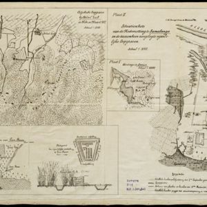
Plan of Singapore harbour, with wharfs and buildings. A roadstead—a body of water sheltered from tides/currents, for ships to anchor—is labelled ‘Singapore Road’. Islands, shoals and reefs are marked, as are roads and buildings in the city.

[Schetskaarten van versterkingen, loopgraven, stellingen, bentengs e.d. uit de Atjeh oorlog]

event1880

location_onIndonesia

Multiple maps from the Aceh War, spread over 12 sheets. Includes maps of fortifications, trenches, battle formations; building plans, including the Aceh Sultan’s palace; topographic maps; and drawings of a ‘kotta mara’ (fortified raft).

Plattegrond der stad Soerabaija

event1867

location_onIndonesia

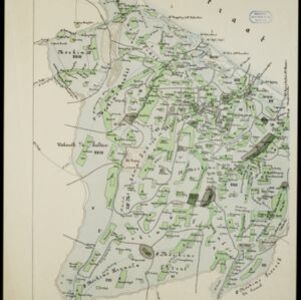
A mid-19th century map of the city of Soerabaija (Surabaya, East Java, Indonesia) showing its recently built defences, including the ‘Citadel Prins Hendrik’ fort and a walled moat. Outside the city are villages, plantations and fields.

close