Search

Search Results

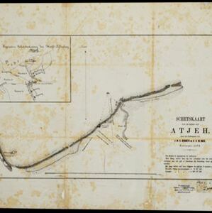
Schetskaart van de reede van Atjeh

event1873

location_onIndonesia

A map of the coast of Atjeh (Aceh), Sumatra, with bathymetry (sea depth), tide information, coconut trees, nipa palm, sugarcane, and two forts. An inset map of the town of Atjeh (Banda Aceh) shows the river, palace, market and villages (‘kampong’).

Plattegrond der stad Batavia

event1866

location_onIndonesia

A mid-19th century map of the important port of Batavia (Jakarta), with its pier, commercial centre and residential streets. However, the city is also surrounded by villages (kampongs), fields and plantations. An inset map shows Batavia Castle.

Nederlandsch Oost-Indië

event1865

location_onBrunei, Cambodia, East Timor, Indonesia, Laos, Malaysia, Myanmar, Vietnam, Thailand, Southeast Asia, Singapore, Philippines, Papua New Guinea

This detailed map of the Dutch East Indies in the mid-19th century contains a great deal of information: topographical details, settlements and administrative areas, roads, railways and maritime routes, telegraph lines, inset maps etc.

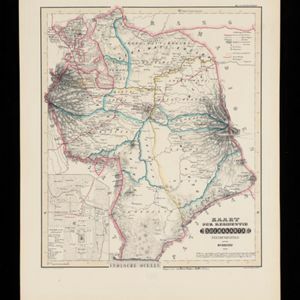
Kaart der Residentie Soerakarta

event1859

location_onIndonesia

Map of the Dutch colonial administrative region (residency) of Soerakarta (Surakarta, Java). Inset map of Surakarta city, with a military fort and two palaces. (From ‘Algemeene Atlas van Nederlandsche Indie [General Atlas of the Dutch East Indies]’.)

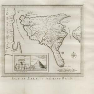
Isle de Baly = 'T eiland Baly

eventc.1772-1780

location_onIndonesia

Amongst the mountains and jungles of mid-18th century Bali, this map shows three royal palaces, walled encampments, and seven Buddhist temples (or ‘stupa’) on the east coast. Inset illustrations depict a palace and a temple in detail.

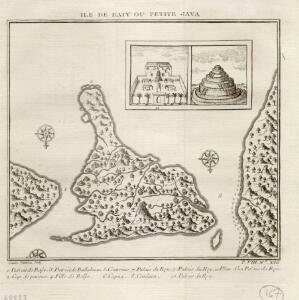
Ile de Baly ou petite Java

event1770

location_onIndonesia

Amongst the mountains and jungles of mid-18th century Bali, this map shows three royal palaces, walled encampments, towns, and seven Buddhist temples (or ‘stupa’) on the east coast. Inset illustrations depict a palace and a temple in detail.

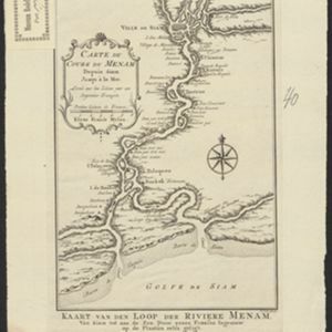
Carte du Cours du Menam: Depuis Siam Jusqu à la Mer

event1755

location_onThailand

Map of the Menam River (Chao Phraya River) from the city of Ayutthaya (labelled ‘Ville de Siam’), past Bangkok to its mouth in the Gulf of Thailand. Features forts, villages, and a royal palace along the route.

Carte du Cours du Menam: Depuis Siam Jusqu à la Mer

event1755

location_onThailand

Map of the Menam River (Chao Phraya River) from the city of Ayutthaya (labelled ‘Ville de Siam’), past Bangkok to its mouth in the Gulf of Thailand. Features forts, villages, and a royal palace along the route.

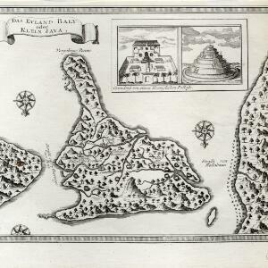
Das eyland Baly oder klein Java

event1750

location_onIndonesia

Amongst the mountains and jungles of mid-18th century Bali, this map shows three royal palaces, walled encampments, towns, and seven Buddhist temples (or ‘stupa’) on the east coast. Inset illustrations depict a palace and a temple in detail.

Der Hollaendisch-Ostindianischen Compagnie weltberühmte Haupt-Handels und Niederlags: Stadt Batavia

event1747

location_onIndonesia

The legend and written notes on this plan of Batavia (Jakarta) provide much detailed information about the important port city in the early 18th century. It is also beautifully decorated with paintings of the city, local people, animals and ships.

Der Hollaendisch-Ostindianischen Compagnie weltberühmte Haupt-Handels und Niederlags: Stadt Batavia

event1733

location_onIndonesia

The legend and written notes on this plan of Batavia (Jakarta) provide much detailed information about the important port city in the early 18th century. It is also beautifully decorated with paintings of the city, local people, animals and ships.
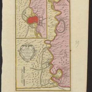
Carte du cours de la Riviere de Meinam: depuis Judia jusqu'à son embouchure

event1730

location_onThailand

Map of the Meinam (Chao Phraya) river from the city of Judia (Ayutthaya) to its mouth near Bangkok. Features temples, villages, a Bishop's Palace, a fort at Bangkok, and a ‘Champ des Eléphans [Elephant Field]’. The text is in French and Dutch.

close