Search Results

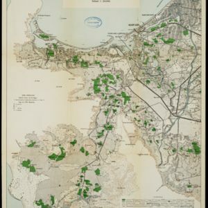
Kaart van het Westelijk gedeelte bezet in Groot-Atjèh
1895
Indonesia
This map of Groot-Atjèh (Aceh, northern Sumatra) focuses on the western part occupied during the Aceh War. It shows mountains, wetlands, forests, villages, routes and crops (rice, coconut, banana, sugar, sugarcane, bamboo, alang-alang, betel).

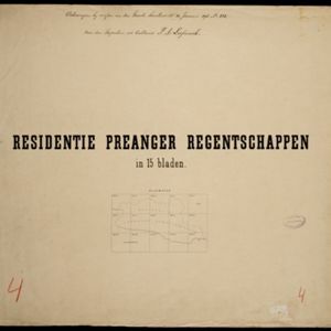
Topographische kaart van de residentie Preanger regentschappen
1894
Indonesia
The residency of Preanger (Parahyangan), West Java, with plantations (coconut, coffee, tea, cinchona (‘kina’), betel, teakwood, bamboo) and crops (rice, sugarcane, alang-alang). Two inset maps: a triangulation map, and a map of land route distances.

Topographische kaart der residentie Besoeki
1888
Indonesia
The residency of Besoeki (Besuki), East Java, featuring crops (rice, alang-alang, bamboo, coconut); fishing ponds; factories, warehouses, businesses; routes, administrative borders; churches, cemeteries, forts, lighthouses; mountains, rivers, lakes.


