Search

Search Results

Atlas van Nederlandsch Oost-Indië

eventc.1897-1904

location_onIndonesia

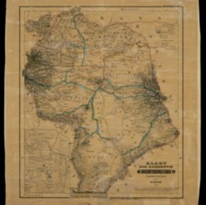
Very detailed atlas of the entire Dutch East Indies, over 16 map sheets, with a cover and overview map. Includes topographic maps, inset maps of cities and islands, and maps featuring land and sea routes, languages, geology, colonial territory etc.

Kaart van de residentie Oostkust van Sumatra

event1896

location_onIndonesia

Detailed topographical map of the east coast of Sumatra, spread over 36 sheets. The area’s farms are listed and shown on the map within yellow borders, with types of crop grown. There is a detailed plan of Medan, and five inset maps of other towns.

Kaart van de Hoofdplaats Padang

event1896

location_onIndonesia

Map of the city of Padang, Sumatra, featuring roads, religious and military buildings, markets, warehouses and factories, and a railway station. Surrounding areas have villages and fields of rice, nutmeg, coconut, bamboo, alang-alang, sugarcane.

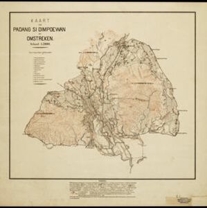
Kaart van Padang Si Dimpoewan en omstreken

event1895

location_onIndonesia

Map of Padang Si Dimpoewan (modern city of Padangsidempuan, northern Sumatra) including a military camp and accommodation, schools, a market, jail and graveyard. Crops are grown in the surrounding area: rice, coconut, coffee, alang-alang, bamboo.

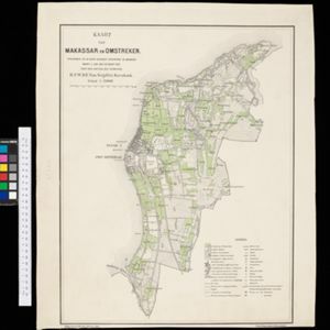
Kaart van Makassar en Omstreken

event1894

location_onIndonesia

Map of the city of Makassar, Celebes (Suawesi), with the Dutch Fort Rotterdam, Koning’s Plein (King's Square) and a military hospital. The surrounding area has villages and crops: rice (paddy) fields, coconut, bamboo, nipa palm, banana.

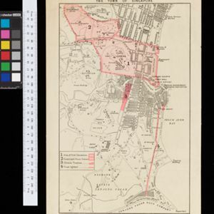
The town of Singapore

eventc.1887-1888

location_onSingapore

Plan of Singapore town, including Tanjong Pagar docks, the central civic/business area around the Singapore River, and residential areas. The Government House area (now known as The Istana), and areas of Chinese theatres, are highlighted.

Kaart der Residentie Soerakarta

event1859

location_onIndonesia

Map of the Dutch colonial administrative region (residency) of Soerakarta (Surakarta, Java). Inset map of Surakarta city, with a military fort and two palaces. (From ‘Algemeene Atlas van Nederlandsche Indie [General Atlas of the Dutch East Indies]’.)

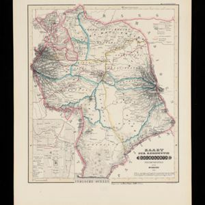
Kaart der residentie Soerakarta

event1859

location_onIndonesia

The residency of Soerakarta in Central Java is shown divided into regencies (yellow borders) and districts (blue borders). There is an inset plan of the capital city, Soerakarta (modern Surakarta), and mountains and land routes are marked.

close

  • Filter from 1859 to 1897

Current results range from 1859 to 1897