Search Results
17 Results found
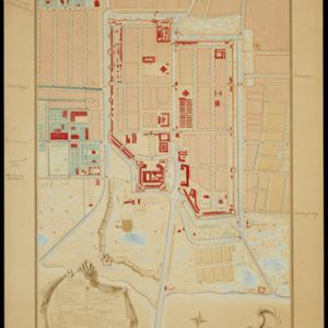
Copie no. 2: Plan van den stadt en het casteel van Batavia met een gedeeltevan deszelfs voorsteeden en verdere buijtenplaatse ao 1762
1898
Indonesia
A hand-drawn and coloured plan of the important port city of Batavia (Jakarta), with a detailed legend identifying parts of the city, castle and suburbs. Handwritten notes around the border give the names of roads. Copied from a 1764 map.
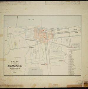
Kaart der hoofdplaats Batavia omstreeks het jaar 1740
1898
Indonesia
A mid-18th century map of the important port of Batavia (Jakarta), with military forts, a pier, hospitals, churches, and residential streets. However, the city is also surrounded by fields and plantations, for producing crops and grazing animals.

Atlas van Nederlandsch Oost-Indië
c.1897-1904
Indonesia
Very detailed atlas of the entire Dutch East Indies, over 16 map sheets, with a cover and overview map. Includes topographic maps, inset maps of cities and islands, and maps featuring land and sea routes, languages, geology, colonial territory etc.
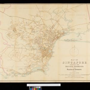
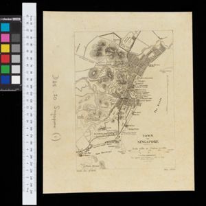
Map of Singapore showing the principal residences and places of interest
1892
Singapore
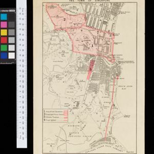
Map of the city of Singapore, including the central civic/business area around the Singapore River, Fort Canning, Tanjong Pagar dock, and residential areas. The city is surrounded by villages and plantations (pineapple, fruit and vegetable, coconut).
- Church17
- [remove]Court of Law17
- Hospital17
- [remove]Public Space17
- Residential Area17
- Cemetery/Columbarium12
- Kampong/Village10
- Military Fort10
- Palace8
- Post Office8
- Jail/Prison7
- Military Barracks7
- Police Station7
- Temple5
- more Settlement Features »
- [remove]Civic/Metropolitan Border17
- District/Administrative Border3
- Colonial Possessions1


