Search Results
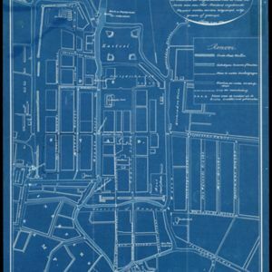
Schetze van de stad Batavia, voorsteden en Chineesche kamp, dienende ter aanwijzing der rivieren en grachten... moeten worden uitgediept, uitgegraven of gedempt
1898
Indonesia
Plan of the city of Batavia (Jakarta) and its suburbs. Based on a report on health conditions in the city, it shows where the rivers and canals need to be deepened, excavated or filled in.
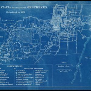
De stad Batavia met derzelver omstreken: Geteekend in 1826
1898
Indonesia
The city of Batavia (Jakarta) with its port and castle is to the north (right side of the map). Koningsplein (Merdeka Square), a large area of rice paddies, graveyards and villages can be seen to the south (left). Copied from a c.1826 map.
Plattegrond van de stad en casteel Batavia, met de daarnaast gelegene situatie
1898
Indonesia
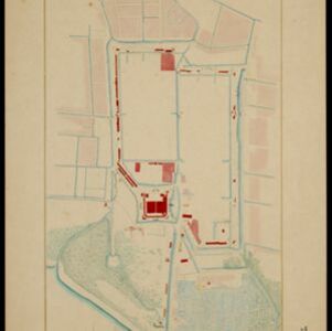
Plan of the port city of Batavia (Jakarta) with the pier (and North) at the bottom. There is a legend, and an illustrated cartouche featuring a female figure holding an oar and a shield decorated with the ‘VOC’ logo of the Dutch East India Company.
Kaart van het kasteel en de stad Batavia in het jaar 1667
1898
Indonesia
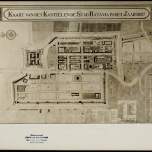
Very detailed map of the port city of Batavia (Jakarta), with numerous locations listed in the multiple legends. The city’s coat of arms—featuring a sword and laurel wreath—and the Dutch East India Company monogram logo—letters ‘VOC’—are also shown.

Atlas van Nederlandsch Oost-Indië
c.1897-1904
Indonesia
Very detailed atlas of the entire Dutch East Indies, over 16 map sheets, with a cover and overview map. Includes topographic maps, inset maps of cities and islands, and maps featuring land and sea routes, languages, geology, colonial territory etc.
Situatie-kaart van een gedeelte der stad Batavia benevens de bank voor de Groote rivier
1817
Indonesia
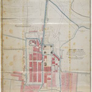
Plan of the canals and rivers flowing through the city of Batavia (Jakarta), passing through the port before reaching the pier and the bay. The bay has a sand bank and figures for water depth. There are profile drawings of two of the city’s rivers.
- Filter from 1817 to 1900
- [remove]Military Barracks10
- [remove]Public Space10
- Hospital9
- Residential Area9
- Church8
- Military Fort7
- Cemetery/Columbarium5
- Court of Law5
- Jail/Prison4
- Palace4
- Police Station4
- Kampong/Village3
- Post Office3
- Temple3
- more Settlement Features »


