Search

Search Results

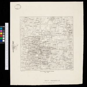
Plattegrond der stad Samarang

event1866

location_onIndonesia

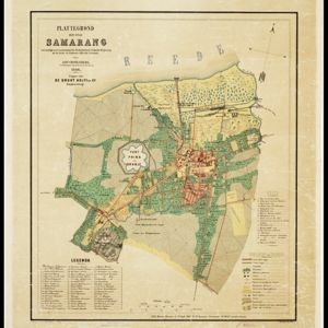
Mid-19th century map of the city of Samarang (Semarang, Central Java, Indonesia) dominated by the Fort Prins van Oranje. The railway station and Haven Kanal, which flows to the sea, are also prominent. The city is surrounded by villages and fields.

Topographische kaart der residentie Soerakarta

event1867

location_onIndonesia

The residency of Soerakarta (Surakarta), Central Java, featuring crops (coffee, sugarcane, rice, sugar); warehouses (coffee, sugar, tobacco, indigo plant); factories (sugar, tobacco, indigo plant); routes (railway, postal, road).

Kaart van de Hoofdplaats Djokjakarta en Omstreken

event1872

location_onIndonesia

Map of the city of Djokakarta (Yogyakarta, Java), featuring streets and buildings, as well as a military fort, public square and railway station. The surrounding area has rice (paddy) fields and villages.

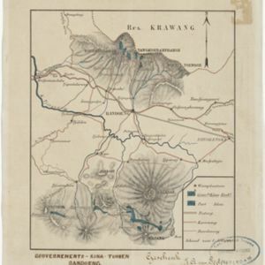
Gouvernements-kina-tuinen, Bandoeng, Java

event1881

location_onIndonesia

This map of Bandung, Java, highlights areas used to cultivate the plant Cinchona (‘Kina’). Its bark produces quinine which was used to treat malaria. A railway line, postal routes, cart roads and bridleways are also shown.

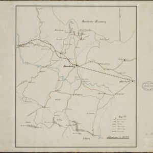
[Kina plantages rond Bandoeng]

event1881

location_onIndonesia

This map of Bandung, Java, highlights areas used to cultivate the plant Cinchona (‘Kina’). Its bark produces quinine which was used to treat malaria. A railway line, postal routes, cart roads and bridleways are also shown.

Handelskaartje van den Nederlandsch Indischen archipel

event1883

location_onIndonesia, East Timor

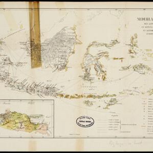
This map is concerned with trade in the Dutch East Indies, highlighting useful resources such as maritime routes, railways, telegraph lines and offices, coast and harbour lights, offices of officials, areas that apply tolls and duties etc.
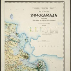
Topographische kaart der residentie Soerabaja

event1884

location_onIndonesia

The residency of Soerabaja, East Java, featuring crops (coffee, coconut, sugarcane, rice, alang-alang, bamboo) and fishing ponds. Three inset maps: a triangulation map; a map of distances between settlements by types of transport; Bawean Island.
Kaart van Java en Madura

event1885

location_onIndonesia

This map of Java and Madura is divided into administrative areas: residencies (blue lines), departments (green) and districts (yellow). The locations of government coffee and salt warehouses, as well as railways and tramways (red lines) are marked.

Kaart van de residentie Oostkust van Sumatra

event1889

location_onIndonesia

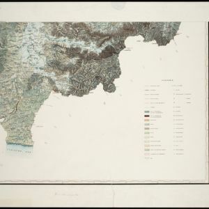
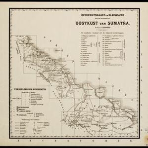
Detailed topographical map of the east coast of Sumatra, spread over 36 sheets plus a cover sheet of the whole area. Mountains and forests dominate, with villages, routes and administrative borders shown. With five inset maps of individual towns.
Kaart van de residentie Oostkust van Sumatra

event1889

location_onIndonesia

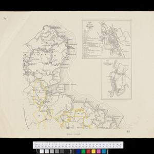
Detailed topographical map of the east coast of Sumatra, spread over 34 sheets. The area’s farms are listed and shown on the map, with types of crop grown. With five inset maps of individual towns. Two sheets and the cover sheet are missing.

Java

event1890

location_onIndonesia

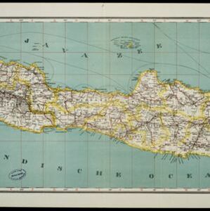
This detailed late 19th century map shows Java divided into regencies, and features settlements, roads, railways, rivers, and maritime routes. There is also an inset map of the Kangean Islands.

Kaart van de Residentie Kediri

event1891

location_onIndonesia

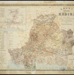
A map of the residency of Kediri (East Java) divided into regencies, which are then subdivided into districts. Mountains, roads, railways and rivers are shown. An inset map shows distances between settlements by road, tracks and paths.

close

  • Filter from 1866 to 1898

Current results range from 1866 to 1898