Search Results
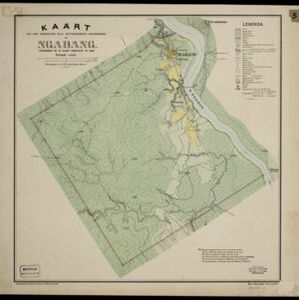
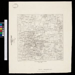
Kaart van den vierkanten paal gouvernements grondgebied te Ngabang
1888
Indonesia
Map of the town of Ngabang, on the Landak River, Borneo and the surrounding forest and mountains. Around the town are cemeteries, a well, a jail and a Chinese temple. Bamboo, coconut trees, fishing ponds and fields (including alang-alang) are marked.

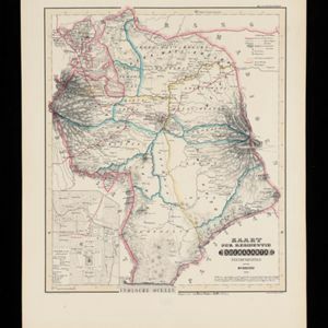
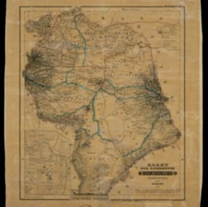
Topographische kaart der residentie Besoeki
1888
Indonesia
The residency of Besoeki (Besuki), East Java, featuring crops (rice, alang-alang, bamboo, coconut); fishing ponds; factories, warehouses, businesses; routes, administrative borders; churches, cemeteries, forts, lighthouses; mountains, rivers, lakes.

Kaart der afdeelingen Boelèlèng en Djambrana, eiland Bali, vervaardigd in 1885
1886
Indonesia
Contour lines show the terrain of these two districts at the western end of the island of Bali. Roads connecting the ‘desa’s [villages]’, Hindu temples and rivers are marked. Anchor points around the coast are marked for ships or for local vessels.

Itinéraire de Hanoi à That-khe par Lang-son (Frontière Chinoise du Kouang-Si)
1881
Vietnam
A late 19th century map depicting a route from Hanoi to That-Khe via Lang-Son (in northern Vietnam, near the border with China at Kouang-Si (Guangxi)). Two inset maps feature plans of military forts, villages, rivers and fields along the route.

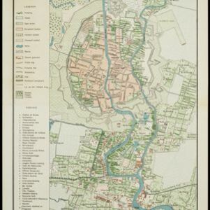
Military cantonments: town and suburbs of Akyab, 1853-54
1866
Myanmar
Plan of British military installations in the port town of Akyab, Burma (Sittwe, Myanmar), featuring piers on the Kolladyne River (Kaladan River), hospitals, a work house, mission house, hotel, bazaar, burial grounds, religious buildings etc.

Kaart van de Oosterhelft der Residentie Timor
1860
Indonesia
Map of the eastern half of the Dutch colonial administrative region (residency) of Timor, with an inset map of its capital city and port Timorkoepang (Kupang). (From ‘Algemeene Atlas van Nederlandsche Indie [General Atlas of the Dutch East Indies]’.)
- [remove]Residential Area39
- [remove]Temple39
- Kampong/Village27
- Church26
- Military Fort21
- Public Space17
- Cemetery/Columbarium16
- Palace16
- Hospital15
- Jail/Prison13
- Mosque13
- Military Barracks12
- Post Office12
- Police Station7
- more Settlement Features »


