Search

Search Results

Upper Burma

event1894

location_onMyanmar, Thailand

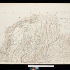
Map of Upper Burma, showing the borders with Assam (India), China and Siam (Thailand), as well as internal administrative borders. Mountains with their heights, settlements, rivers and railways (completed, proposed and under construction) are shown.

Upper Burma: With additions and corrections to January 1894

event1894

location_onMyanmar

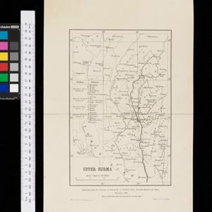
Map of Upper Burma divided into Divisions and Districts, and featuring the Irrawaddy and Chindwin rivers, the Burma State Railway, and settlements including the city of Mandalay.

Upper Burma

event1893

location_onMyanmar, Thailand

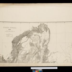
Map of Upper Burma, showing the borders with Assam (India), China and Siam (Thailand), as well as internal administrative borders. Mountains with their heights, settlements, rivers and railways (completed, proposed and under construction) are shown.

Boundaries of Tongkin or Tongkia

event1893

location_onLaos, Vietnam

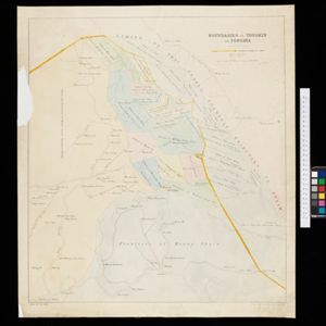
This late 19th century map shows the disputed border region between Siam (Thailand, Laos) and Tongkin (Vietnam), with the border claimed by Siam highlighted in yellow. Provinces along the border are labelled with the names of their local tribes.

India: Sugar cane

event1893

location_onMyanmar

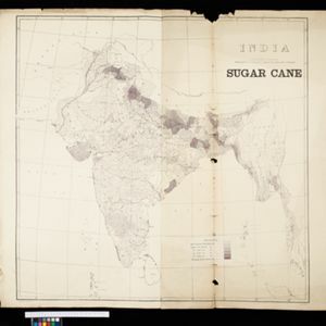
On this map of India and Burma (Myanmar), shading indicates what percentage of each province is used for the cultivating sugarcane. Part of a series of maps of the same area showing different crops (others include cotton and rice).

India: Rice

event1893

location_onMyanmar

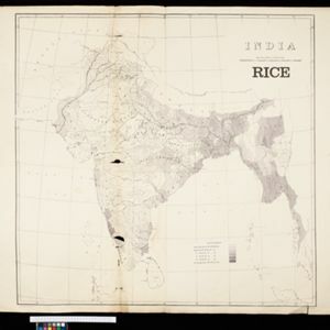
On this map of India and Burma (Myanmar), shading indicates what percentage of each province is used for the cultivating rice. Part of a series of maps of the same area showing different crops (others include cotton and sugarcane).

India: Cotton

event1893

location_onMyanmar

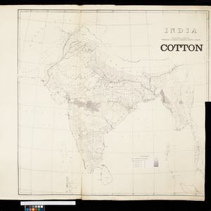
On this map of India and Burma (Myanmar), shading indicates what percentage of each province is used for the cultivating cotton. Part of a series of maps of the same area showing different crops (others include rice and sugarcane).

Map of the Malay Peninsula 1892

event1892

location_onMalaysia, Singapore, Thailand

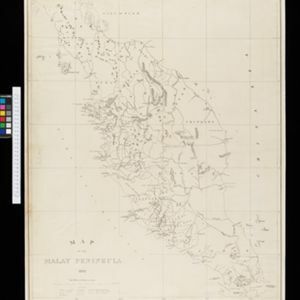
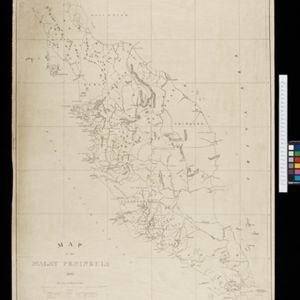
Map of the Malay Peninsula divided into States, with names of local peoples marked (e.g. ‘Inhabited by Sakai & Semang’). Lighthouses are shown around the coast—including Horsburgh Lighthouse and Raffles Lighthouse—with their visible distance.
Burma and adjacent countries

event1892

location_onMyanmar, Thailand

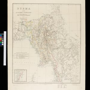
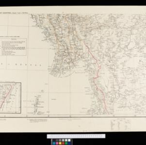
The regional and national borders of Burma and Siam are hand-coloured on this map. Provinces, districts and states within Burma are also highlighted, and itemised in a separate list.

Burma and adjacent countries

event1892

location_onMyanmar, Thailand

The regional and national borders of Burma and Siam are hand-coloured on this map. Provinces, districts and states within Burma are also highlighted, and itemised in a separate list.

Map to accompany preliminary report on the Chin-Lushai Country

event1892

location_onMyanmar

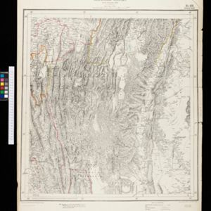
Topographical map of the mountainous border region between India and northwest Burma (Myanmar), showing rivers, lakes, villages, towns, roads and railways. High points are marked with their heights so they can be used for triangulation.

close