Search

Search Results

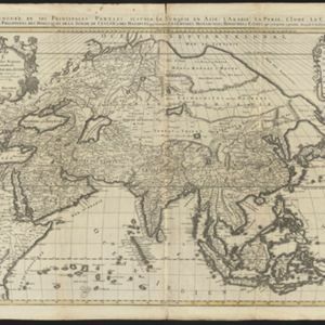
L'Asie divisée en ses principales regions, et ou se peut voir l'estendue des Empires, Monarchies, Royaumes, et Estats qui partagent présentement l'Asie

event1692

location_onBrunei, Cambodia, East Timor, Indonesia, Laos, Malaysia, Myanmar, Philippines, Singapore, Southeast Asia, Thailand, Vietnam

This map shows the empires, kingdoms and states of Southeast Asia. Its decorative cartouche features drawings of two women—one with a cornucopia and one with a censer (incense burner)—elephant heads, and a French coat of arms. Nine scales are shown.

L'Asie

event1690

location_onBrunei, Cambodia, East Timor, Indonesia, Laos, Malaysia, Myanmar, Philippines, Singapore, Southeast Asia, Thailand, Vietnam

On this late 17th century map of Asia by the French cartographer Nicolas Sanson, mainland Southeast Asia is labelled ‘PresquIsle de la le Gange [Peninsula of the Ganges]’.

[Zuid-Chinese Zee]

event1686

location_onIndonesia, Malaysia, Thailand, Cambodia, Vietnam

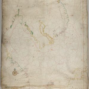
Early navigation map of the South China Sea. The web of lines is a rhumbline network, while the numbers indicate sea depth (bathymetry), both used to aid navigation. A route around the Gulf of Thailand is marked with text and the dates 1643 and 1644.

Accuratissima totius Asiæ tabula: Recens emendata

event1680

location_onBrunei, Cambodia, East Timor, Indonesia, Laos, Malaysia, Myanmar, Philippines, Singapore, Southeast Asia, Thailand, Vietnam

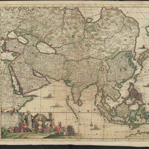
A detailed late 17th century map of Asia, showing ancient kingdoms and the place names of important settlements. The cartouche features a drawing of Asian traders selling their goods, while a camel, monkey and two birds look on.

Indiæ Orientalis nec non Insularum Adiacentium Nova Descriptio

eventc.1680

location_onBrunei, Cambodia, East Timor, Indonesia, Laos, Malaysia, Myanmar, Philippines, Singapore, Southeast Asia, Thailand, Vietnam

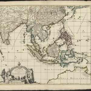
The cartouche on this map of Asia is decorated with a detailed depiction of a European man negotiating with an Asian merchant to buy an assortment of Asian goods, including jewellery, porcelain vessels and figurines, and textiles.

Asiae Nova Descriptio

event1679

location_onBrunei, Cambodia, East Timor, Indonesia, Laos, Malaysia, Myanmar, Philippines, Singapore, Southeast Asia, Thailand, Vietnam

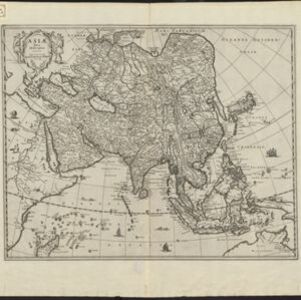
The seas on this early map of Asia are decorated with sailing ships and sea monsters. The cartouche features an illustration of two Asian men carrying bows and arrows.

Carte a faite sur les lieux par Daniel Tavernier in plusieurs Voiages qu'il fait au Tonquin

event1679

location_onVietnam

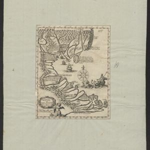
Early map of the coast of Tunquin (modern northern Vietnam) made by the French merchant and adventurer Daniel Tavernier. It features a drawing of Poseidon/Neptune riding in a sea chariot pulled by horses, and extensive notes describing the region.

Asiae Nova Descriptio

event1679

location_onBrunei, Cambodia, East Timor, Indonesia, Laos, Malaysia, Myanmar, Philippines, Singapore, Southeast Asia, Thailand, Vietnam

The seas on this early map of Asia are decorated with sailing ships and sea monsters. The cartouche features an illustration of two Asian men carrying bows and arrows.

close

  • Filter from 1570 to 1900

Current results range from 1570 to 1900