Search

Search Results

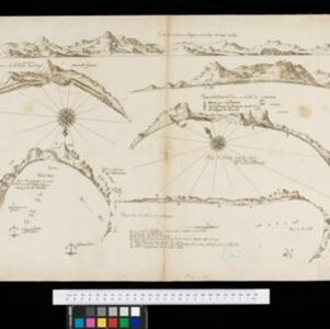
[Views of ports in Sumatra]

event1700

location_onIndonesia

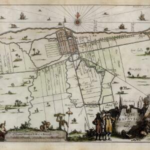
A mapp of Batavia with all itts forts

event1704

location_onIndonesia

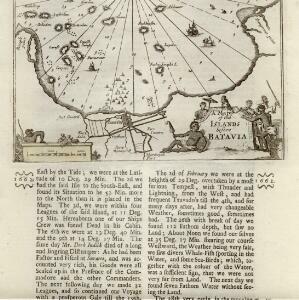
A mapp of the islands before Batavia

event1704

location_onIndonesia

Insulae Iavae pars Occidentalis

eventc.1710-1719

location_onIndonesia

A new and correct chart of part of the island of Java from the west end to Batavia with the Streights of Sunda

event1711

location_onIndonesia

A map of the East-Indies and the adjacent countries: with the settlements, factories and territories, explaining what belongs to England, Spain, France, Holland, Denmark, Portugal &c.

event1717

location_onBrunei, Cambodia, East Timor, Indonesia, Laos, Malaysia, Myanmar, Philippines, Singapore, Southeast Asia, Thailand, Vietnam

Carte de l'ile de Java: partie occidentale, partie orientale, dressée tout nouvellement sur les mémoires les plus exacts

event1719

location_onIndonesia

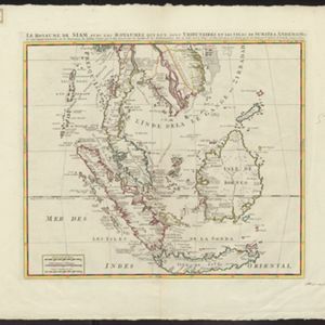
Le Royaume de Siam avec les Royaumes qui luy sont Tributaires et les Isles de Sumatra, Andemaon etc.

event1719

location_onBrunei, Cambodia, Indonesia, Laos, Malaysia, Myanmar, Singapore, Thailand, Vietnam

Le Royaume de Siam avec les Royaumes qui luy sont Tributaires et les Isles de Sumatra, Andemaon etc.

event1719

location_onBrunei, Cambodia, Indonesia, Laos, Malaysia, Myanmar, Singapore, Thailand, Vietnam

A map of the East-Indies and the adjacent countries: with the settlements, factories and territories, explaning what belongs to England, Spain, France, Holland, Denmark, Portugal &c.

event1720

location_onBrunei, Cambodia, East Timor, Indonesia, Laos, Malaysia, Myanmar, Philippines, Vietnam, Thailand, Southeast Asia, Singapore

Carte de l'ile de Java: partie occidentale, partie orientale, dressée tout nouvellement sur les mémoires les plus exacts

event1720

location_onIndonesia

Insulae Iavae pars Occidentalis

eventc.1720

location_onIndonesia

close