Search

Search Results

Atlas van Nederlandsch Oost-Indië

eventc.1897-1904

location_onIndonesia

Very detailed atlas of the entire Dutch East Indies, over 16 map sheets, with a cover and overview map. Includes topographic maps, inset maps of cities and islands, and maps featuring land and sea routes, languages, geology, colonial territory etc.

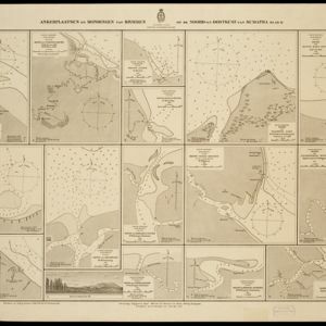
Ankerplaatsen en mondingen van rivieren op de Noord- en Oostkust van Sumatra: Blad II

event1896

location_onIndonesia

Fifteen separate maps of bays and river mouths of Sumatra, including bathymetry (sea depth), anchor points, reefs and shoals, and tide data. There is a drawing of the mouth of the Pidada-rivier.

Kaart van het noorder schiereiland van Halemahera

event1888

location_onIndonesia

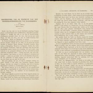
Included in a book chapter describing the northern peninsula of Halmahera, this map focuses on the coasts and nearby islands, with the interior left mostly blank. There are seven elevation views of mountains, and two inset maps.

Midden-Sumatra: Reizen en onderzoekingen der Sumatra-expeditie... 1877-1879

event1882

location_onIndonesia

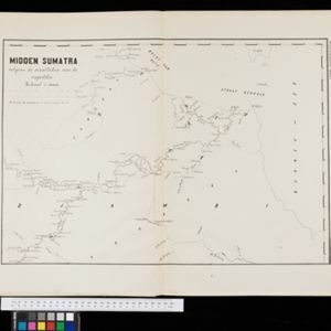
An Atlas produced by an expedition in central Sumatra, including: maps of topography, geology, a number of rivers in the region; drawings of mountains, graphs of lengths of roads; family trees of the royal families of Djambi (Jambi) and Palembang.

Principal Dutch colonies in the Indian seas

event1872

location_onBrunei, Indonesia, Malaysia

Two maps of the Dutch East Indies, decorated with drawings of local people and animals. Dutch colonial territory and local sultanates and provinces are highlighted. The heights of Java’s mountains and settlements are displayed in an elevation view.

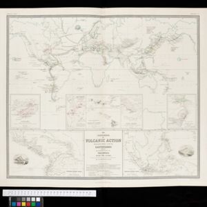
The phenomena of volcanic action: showing the regions visited by earthquakes and the distribution of volcanoes over the globe

event1849

location_onBrunei, Cambodia, East Timor, Indonesia, Laos, Malaysia, Myanmar, Papua New Guinea, Philippines, Singapore, Southeast Asia, Thailand, Vietnam

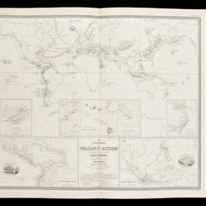
On the main map, the volcanic regions of Southeast Asia are labelled, active and extinct volcanos are marked, and the 1815 eruption of Tumbora (Mount Tambora on Sumbawa) is highlighted. Even more details are shown on an inset map of Southeast Asia.

Survey of the geographical distribution and cultivation of the most important plants which are used as food for man: with indications of the isotheres & isochimenes, or lines of equal summer & winter temperature

event1849

location_onBrunei, Cambodia, East Timor, Indonesia, Laos, Malaysia, Myanmar, Papua New Guinea, Philippines, Singapore, Southeast Asia, Thailand, Vietnam

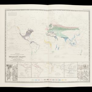
Map of important food crops (rice in Southeast Asia). Inset maps of tea, cassia, pepper, cinnamon, clove, nutmeg, sugar, coffee. With isothermal lines—lines joining locations of same temperature—of summer and winter temperatures, and plant drawings.

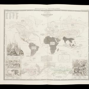
Zoological Geography: Sheet No. 2: Geographical division & distribution of Carnivora (carnivorous animals)

event1849

location_onBrunei, Cambodia, East Timor, Indonesia, Laos, Malaysia, Myanmar, Papua New Guinea, Philippines, Singapore, Southeast Asia, Thailand, Vietnam

A world map showing distribution of carnivorous animals, including in Southeast Asia. Tables list names of species found in each region; their geographical ranges are marked on the map. There is a drawing of 17 carnivore species of the ‘Old World’.

The phenomena of volcanic action: showing the regions visited by earthquakes and the distribution of volcanoes over the globe

event1849

location_onBrunei, Cambodia, East Timor, Indonesia, Laos, Malaysia, Myanmar, Papua New Guinea, Philippines, Singapore, Southeast Asia, Thailand, Vietnam

On the main map, the volcanic regions of Southeast Asia are labelled, active and extinct volcanos are marked, and the 1815 eruption of Tumbora (Mount Tambora on Sumbawa) is highlighted. Even more details are shown on an inset map of Southeast Asia.

Algemeene Kaart van Nederlandsch Oostindie

event1842

location_onEast Timor, Indonesia, Malaysia, Singapore

This detailed map of the Dutch East Indies in the mid-19th century is spread over eight sheets, plus a cover sheet showing the whole area. There are numerous inset maps of islands, bays, cities etc.

Algemeene kaart van Nederlandsch Oostindie

eventc.1839-1855

location_onEast Timor, Indonesia, Malaysia, Singapore

This map of the Dutch East Indies is spread over eight sheets, with a hand-drawn cover sheet showing the whole area. There are numerous inset maps of islands, bays, cities etc. Two of the inset maps have a replacement map pasted over them.

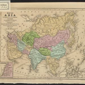
Map of Asia: Designed to accompanying Smith's Geography for Schools

event1839

location_onBrunei, Cambodia, Indonesia, Laos, Malaysia, Myanmar, Philippines, Singapore, Thailand, Vietnam, Southeast Asia

Map of Asia, marked with populations of cities and lengths of rivers. Mainland Southeast Asia is divided into kingdoms, but maritime Southeast Asia is mostly blank, and parts such as Java and the Lesser Sunda Islands are left off entirely.

close