
Search Results
Filter
Map Attributes
Longitude and Latitude
Remove constraint Map Attributes: Longitude and Latitude
Detailed Location
Celebes
Remove constraint Detailed Location: Celebes
Detailed Location
New Guinea
Remove constraint Detailed Location: New Guinea
Detailed Location
Sulawesi
Remove constraint Detailed Location: Sulawesi
Detailed Location
Sumatra
Remove constraint Detailed Location: Sumatra
Collections
Bodleian Libraries, University of Oxford
Remove constraint Collections: Bodleian Libraries, University of Oxford
22 Results found


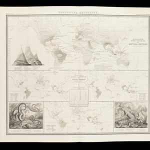
Physical chart of the Indian Ocean: shewing the temperature of the water, the currents of the air and ocean, directions of the wind, districts of hurricanes, regions of the monsoons & ty-foons, trade routes &c&c.
1849
Brunei, Cambodia, East Timor, Indonesia, Laos, Malaysia, Myanmar, Papua New Guinea, Philippines, Singapore, Southeast Asia, Thailand, Vietnam


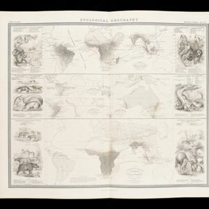
The geographical distribution of plants according to Humboldt's statistics of the principal families and groups: Schouw's twenty five phyto-geographic regions, and the distribution of the family of palms and the genera Pinus (pine) & Erica (heath)
1849
Brunei, Cambodia, East Timor, Indonesia, Laos, Malaysia, Myanmar, Papua New Guinea, Philippines, Singapore, Southeast Asia, Thailand, Vietnam

Survey of the geographical distribution and cultivation of the most important plants which are used as food for man: with indications of the isotheres & isochimenes, or lines of equal summer & winter temperature
1849
Brunei, Cambodia, East Timor, Indonesia, Laos, Malaysia, Myanmar, Papua New Guinea, Philippines, Singapore, Southeast Asia, Thailand, Vietnam
- [remove]Celebes22
- Java22
- [remove]New Guinea22
- [remove]Sulawesi22
- [remove]Sumatra22
- Borneo21
- Western New Guinea19
- Malay Peninsula15
- Siam12
- Maluku Islands10
- Philippine Islands10
- Sunda Islands9
- more Detailed Location »
- [remove]Longitude and Latitude22
- Written Note/Details14
- Scale10
- Compass Rose4
- Contour Lines/Elevation3
- Rhumbline Network1


