Search

Search Results

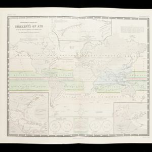
Geographical distribution of the currents of air

event1849

location_onBrunei, Cambodia, East Timor, Indonesia, Laos, Malaysia, Myanmar, Papua New Guinea, Philippines, Singapore, Southeast Asia, Thailand, Vietnam

A world map showing winds, hurricanes and typhoons, including trade winds, calms, typhoon, monsoon and hurricane regions in Southeast Asia. An inset map shows the approach of the Rodriguez Hurricane towards Java in 1843.

A map of Java: chiefly from surveys made during the British administration

event1817

location_onIndonesia

Made for ‘A History of Java’ by Sir Stamford Raffles, this map includes a list of administrative districts with their populations, and four inset maps of harbours. Another inset map shows rocks and minerals, mountains and volcanoes, and teak forests.

close

  • Filter from 1817 to 1849

Current results range from 1817 to 1849