Search

Search Results

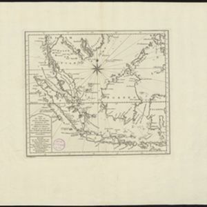
Carte des Isles de Java, Sumatra, Borneo &a. Les detroits de la Sunde, Malaca, et Banca, Golfe de Siam &a.

event1773

location_onBrunei, Cambodia, Indonesia, Malaysia, Singapore, Thailand, Vietnam, Philippines

This map shows the islands of Java, Sumatra and Borneo, the straits of Sunda, Malacca and Bangka, and the Gulf of Siam. The title is given in both French and Dutch, as are some of the place names on the map.
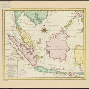
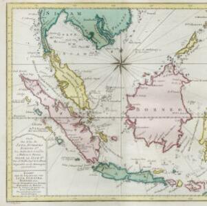
Carte des Isles de Java, Sumatra, Borneo &a. Les detroits de la Sunde, Malaca, et Banca, Golfe de Siam &a.

eventc.1772-1780

location_onBrunei, Cambodia, Indonesia, Malaysia, Philippines, Singapore, Thailand, Vietnam

This map shows the islands of Java, Sumatra and Borneo, the straits of Sunda, Malacca and Bangka, and the Gulf of Siam. The title is given in both French and Dutch, as are some of the place names on the map.
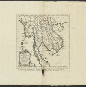
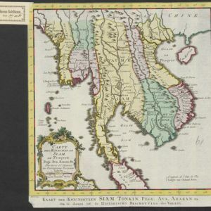
Carte des Royaumes de Siam, de Tunquin, Pegu, Ava, Aracan &c.

eventc.1755

location_onCambodia, Laos, Malaysia, Myanmar, Thailand, Vietnam

The kingdoms of mid-18th century mainland Southeast Asia are shown on this map: Ava and Pegu (Myanmar), Siam (Thailand), Tonquin and Cochinchine (Vietnam), Camboie (Cambodia) and Laos. The text is in French, with the title also in Dutch at the base.

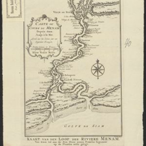
Carte du Cours du Menam: Depuis Siam Jusqu à la Mer

event1755

location_onThailand

Map of the Menam River (Chao Phraya River) from the city of Ayutthaya (labelled ‘Ville de Siam’), past Bangkok to its mouth in the Gulf of Thailand. Features forts, villages, and a royal palace along the route.

Carte du Cours du Menam: Depuis Siam Jusqu à la Mer

event1755

location_onThailand

Map of the Menam River (Chao Phraya River) from the city of Ayutthaya (labelled ‘Ville de Siam’), past Bangkok to its mouth in the Gulf of Thailand. Features forts, villages, and a royal palace along the route.

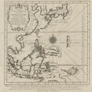
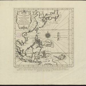
Suite de l'Ocean Oriental contenant les Isles de la Sonde, les costes de Tunquin et de la Chine, les isles du Japon, les Philippines, Moluques

event1746

location_onBrunei, Cambodia, East Timor, Indonesia, Malaysia, Papua New Guinea, Philippines, Singapore, Southeast Asia, Thailand, Vietnam

The coast of New Guinea (‘Nova Guinéa’) is represented in part by a dotted line on this mid-18th century map, indicating that the exact coastlines were unknown at this time. Originally in French, the map has been modified to add Dutch text as well.

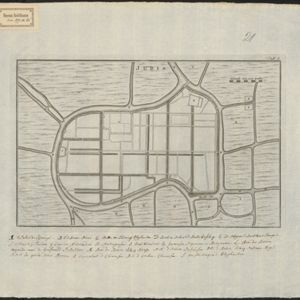
Judia

event1729

location_onThailand

Map of the rivers, roads and canals of Judia (city of Ayutthaya). The legend includes a palace, elephant enclosures, Archbishop’s church and palace. Outside are residential areas for people from Portugal, Japan, Pegu, Malaya, China and Cochinchina.

close

  • Filter from 1726 to 1773

Current results range from 1726 to 1773