
Search Results
Filter
Map Maker
Berghaus, Heinrich Karl Wilhelm
Remove constraint Map Maker: Berghaus, Heinrich Karl Wilhelm
Insets
Inset Map
Remove constraint Insets: Inset Map
21 Results found


Survey of the geographical distribution and cultivation of the most important plants which are used as food for man: with indications of the isotheres & isochimenes, or lines of equal summer & winter temperature
1849
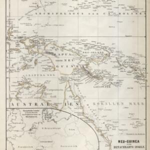
Brunei, Cambodia, East Timor, Indonesia, Laos, Malaysia, Myanmar, Papua New Guinea, Philippines, Singapore, Southeast Asia, Thailand, Vietnam


- [remove]Berghaus, Heinrich Karl Wilhelm21
- Jättnig, Wilhelm9
- Johnston, Keith (A.K.)5
- Johnston, William5
- Brose, W.2
- Iaeck, W.2
- Petermann, August Heinrich1
- Redfield1
- more Map Maker »


