Search

Search Results

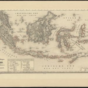
Kaart der Nederlandsche bezittingen in Oostindien = Possessions hollanaises aux Indes Orientales

event1840

location_onBrunei, East Timor, Indonesia, Malaysia, Singapore

Map of Dutch colonial territory in Southeast Asia, including the administrative areas of Java and Madura. Two maritime routes are marked from Batavia to the Maluku Islands: of the brig ‘Douga’ in 1825, and by Baron Godert van der Capellen in 1824.
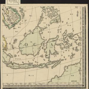
Kaart van Azië ten gebruike der scholen van het Koninkrijk der Nederlanden = Carte d'Asie, a l'usage des maisons d'éducation

event1830

location_onBrunei, Cambodia, East Timor, Indonesia, Laos, Malaysia, Myanmar, Philippines, Singapore, Southeast Asia, Thailand, Vietnam

Map of Asia spread over nine sheets, for use in schools. Place names are not printed on the map itself, but are represented by initials and numbers (presumably, there is a legend that lists the names, but it is not present).

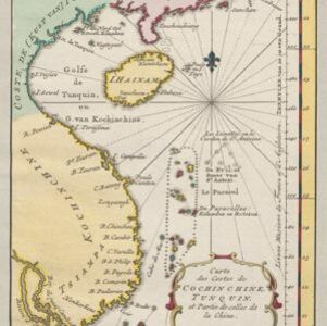
Carte des costes de Cochin Chine, Tunquin, et partie de celles de la Chine

event1773

location_onVietnam, Cambodia

Map of the eastern coast of mainland Southeast Asia (modern Vietnam and part of Cambodia), divided into Tsiampa and Kochinchine (yellow) and Tunquin (green). The shoals and reefs of the Paracel Islands are marked. The text is in French and Dutch.

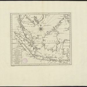
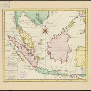
Carte des Isles de Java, Sumatra, Borneo &a. Les detroits de la Sunde, Malaca, et Banca, Golfe de Siam &a.

event1773

location_onBrunei, Cambodia, Indonesia, Malaysia, Singapore, Thailand, Vietnam, Philippines

This map shows the islands of Java, Sumatra and Borneo, the straits of Sunda, Malacca and Bangka, and the Gulf of Siam. The title is given in both French and Dutch, as are some of the place names on the map.

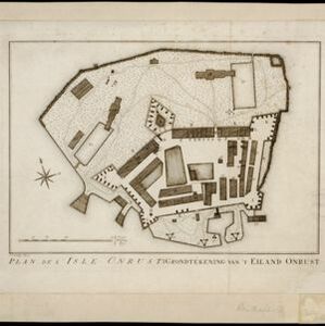
Plan de l'Isle Onrust = Grondtékening van 't Eiland Onrust

event1760

location_onIndonesia

Map of the Dutch town and naval base on the island of Onrust in Batavia (Jakarta) Bay, featuring the dock at the south, and various other buildings. There are defences around the north and east coasts, and internal walls around the main buildings.

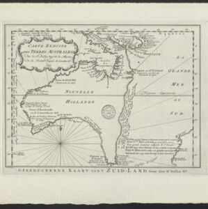
Carte Réduite des Terres Australes = Gereduceerde Kaart van 't Zuid-Land

event1758

location_onIndonesia, Papua New Guinea

New Guinea is shown connected to Australia (‘Nouvelle Hollande’) on this mid-18th century map. The title’s ‘Terres Australes’ means ‘southern lands’ indicating how Australia was named. The text is in French, with the title also in Dutch at the base.

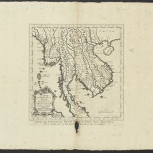
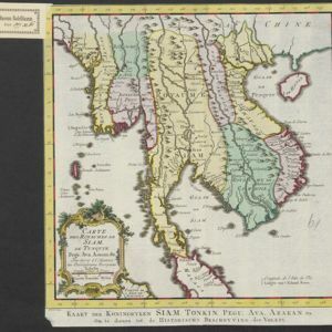
Carte des Royaumes de Siam, de Tunquin, Pegu, Ava, Aracan &c.

eventc.1755

location_onCambodia, Laos, Malaysia, Myanmar, Thailand, Vietnam

The kingdoms of mid-18th century mainland Southeast Asia are shown on this map: Ava and Pegu (Myanmar), Siam (Thailand), Tonquin and Cochinchine (Vietnam), Camboie (Cambodia) and Laos. The text is in French, with the title also in Dutch at the base.

close

  • Filter from 1687 to 1840

Current results range from 1687 to 1840