Search

Search Results

Kaart van den Nederlandsch-Indischen Archipel

event1890

location_onIndonesia, East Timor, Brunei, Cambodia, Malaysia, Philippines, Singapore, Southeast Asia, Thailand, Vietnam

Chart of the China Sea

event1864

location_onPapua New Guinea, Indonesia, Malaysia, Cambodia, East Timor, Philippines, Singapore, Thailand, Vietnam

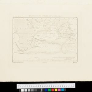
Carte des courants généraux dans l'Océan Indien

eventc.1849-1863

location_onBrunei, Cambodia, East Timor, Indonesia, Laos, Malaysia, Myanmar, Philippines, Singapore, Southeast Asia, Thailand, Vietnam

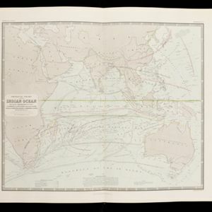
Physical chart of the Indian Ocean: shewing the temperature of the water, the currents of the air and ocean, directions of the wind, districts of hurricanes, regions of the monsoons & ty-foons, trade routes &c&c.

event1849

location_onBrunei, Cambodia, East Timor, Indonesia, Laos, Malaysia, Myanmar, Papua New Guinea, Philippines, Singapore, Southeast Asia, Thailand, Vietnam

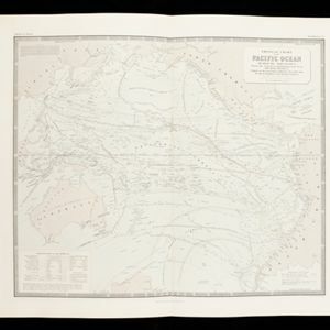
Physical chart of the Pacific Ocean or Great Sea (Mare Pacifico): Showing the currents & temperature of the ocean, the trade routes &c.

event1849

location_onEast Timor, Indonesia, Papua New Guinea, Philippines

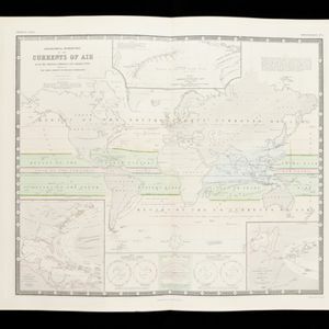
Geographical distribution of the currents of air

event1849

location_onBrunei, Cambodia, East Timor, Indonesia, Laos, Malaysia, Myanmar, Papua New Guinea, Philippines, Singapore, Southeast Asia, Thailand, Vietnam

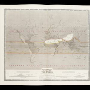
Hyetographic or rain map of the World

event1849

location_onBrunei, Cambodia, East Timor, Indonesia, Malaysia, Laos, Myanmar, Papua New Guinea, Philippines, Singapore, Southeast Asia, Thailand, Vietnam

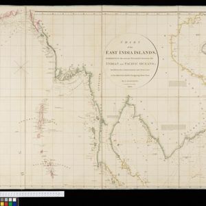
Chart of the East India Islands: exhibiting the several passages between the Indian and Pacific Oceans

event1824

location_onBrunei, Cambodia, East Timor, Indonesia, Malaysia, Philippines, Singapore, Thailand, Vietnam, Southeast Asia, Myanmar

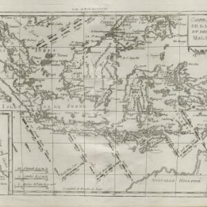
Carte des isles de la Sonde et des isles Moluques

event1780

location_onBrunei, Cambodia, East Timor, Indonesia, Malaysia, Philippines, Singapore

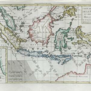
Carte des isles de la Sonde et des isles Moluques

event1780

location_onBrunei, Cambodia, East Timor, Indonesia, Malaysia, Philippines, Singapore

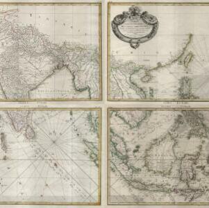
Carte hydro-geo-graphique des Indes orientales, en deca̧ et au dela du Gange avec leur archipel

event1771

location_onBrunei, Cambodia, East Timor, Indonesia, Laos, Malaysia, Myanmar, Philippines, Singapore, Southeast Asia, Thailand, Vietnam

To the Right Honourable William, Lord Cowper, Lord High Chancellor of Great Britain, this map of Asia

event1720

location_onBrunei, Cambodia, East Timor, Indonesia, Laos, Malaysia, Myanmar, Papua New Guinea, Philippines, Singapore, Southeast Asia, Thailand, Vietnam
close